Our Environment
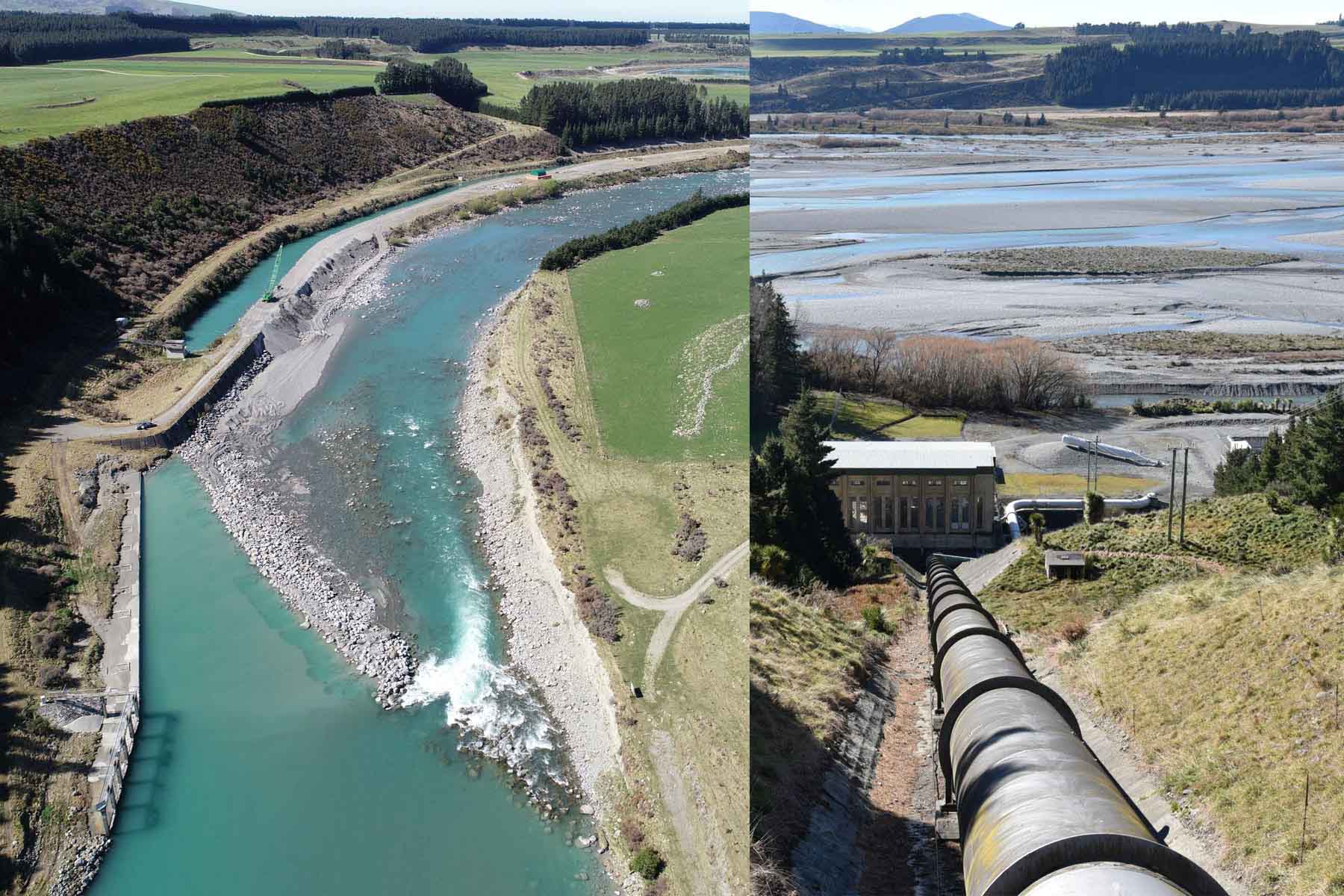
The Rangitata Diversion Race (RDR) has a significant physical presence in Mid-Canterbury as it connects the two main alpine rivers that bound the region at the north and south, and traverses 67km across the western edge.
The fundamental purpose of the RDR, sustainable delivery water for stockwater, irrigation and hydrogeneration, means that the scheme has a significant impact on the local environment – from the rivers it abstracts from and discharges into, to the land that is transformed by the activity that the irrigation and the electricity generation supports.
Our Local Rivers
Rangitata River
The Maori name ‘Rangitata’ (Rakitata) has been variously translated as “day of lowering clouds’’, “close sky’’, and “the side of the sky’’.
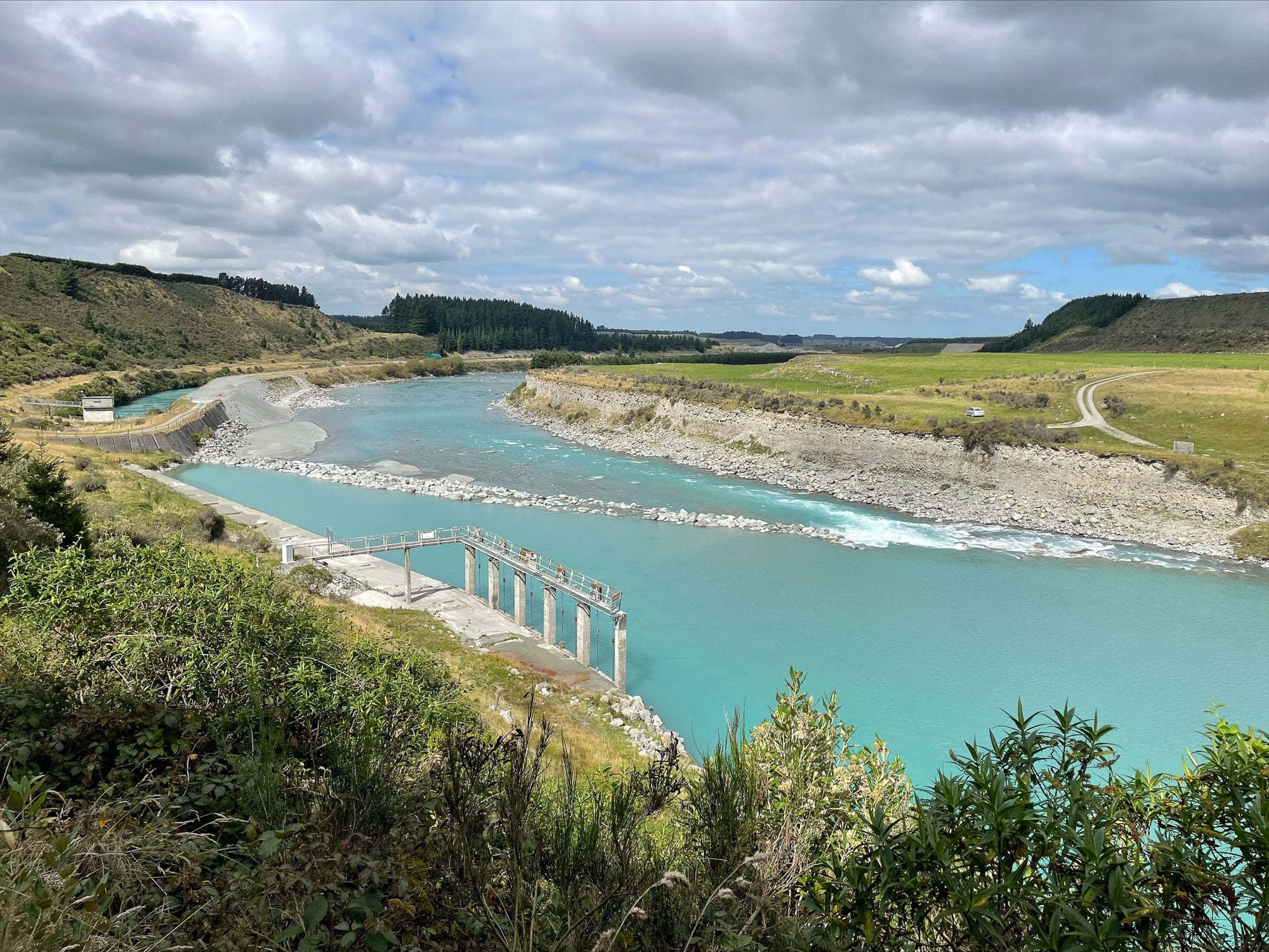
The Rangitata River is one of the braided rivers that helped form the Canterbury Plains. It flows southeast for 120km from the Southern Alps, entering the Pacific Ocean 30 kilometres northeast of Timaru and southeast of Ashburton. The river has a catchment area of 1773 square kilometres and a mean annual flow of 95 cumecs at Klondyke and an average velocity of over 5m/s (one of the quickest rivers in New Zealand). The highest recorded flood since modern data recording started in 1980 was 2977 cumecs in January 1994. The mean annual flood is 1058 cumecs. The recent flood in December 2019, that created havoc with the two highway bridges across the river, peaked at 2307 cumecs.
The main intake for the RDR is located just below the Rangitata River Gorge at Klondyke, approximately 52km inland from the coast.
Ashburton River / Hakatere
The official name of the river was amended to become a dual name by the Ngāi Tahu Claims Settlement Act 1998. It has been identified as an Important Bird Area by BirdLife International because it supports breeding colonies of the endangered black-billed gull.
The river has two branches which meet 21 kilometres from the coast, just inland of the town of Ashburton. The branches remain parallel and no more than 3 kilometres apart for a further 20 kilometres upstream of their confluence, finally diverging near the small settlement of Ashburton Forks. The rivers’ path southeast across the Canterbury Plains lies in a shallow depression between the higher shingle fans created by the much larger Rakaia and Rangitata rivers.
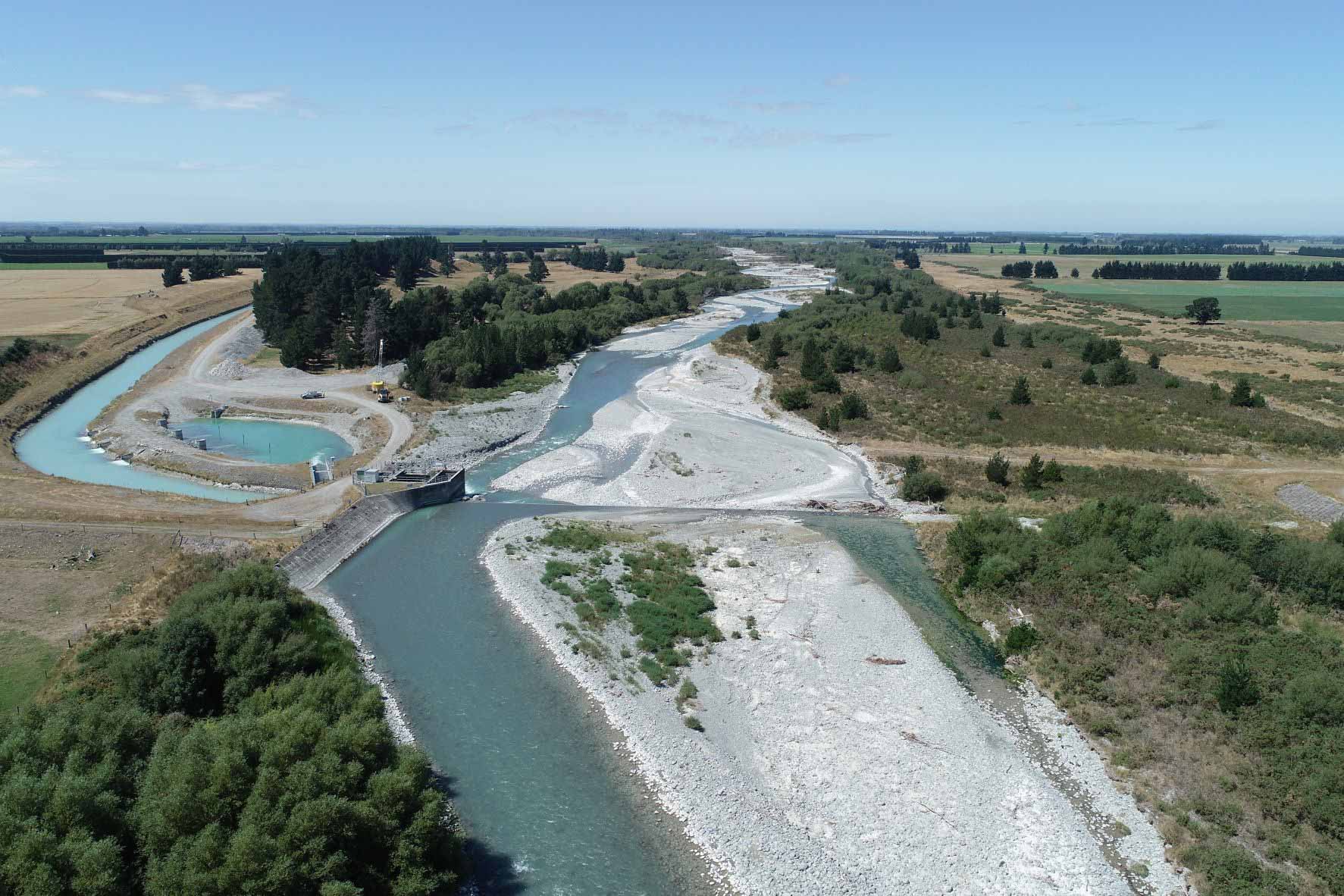
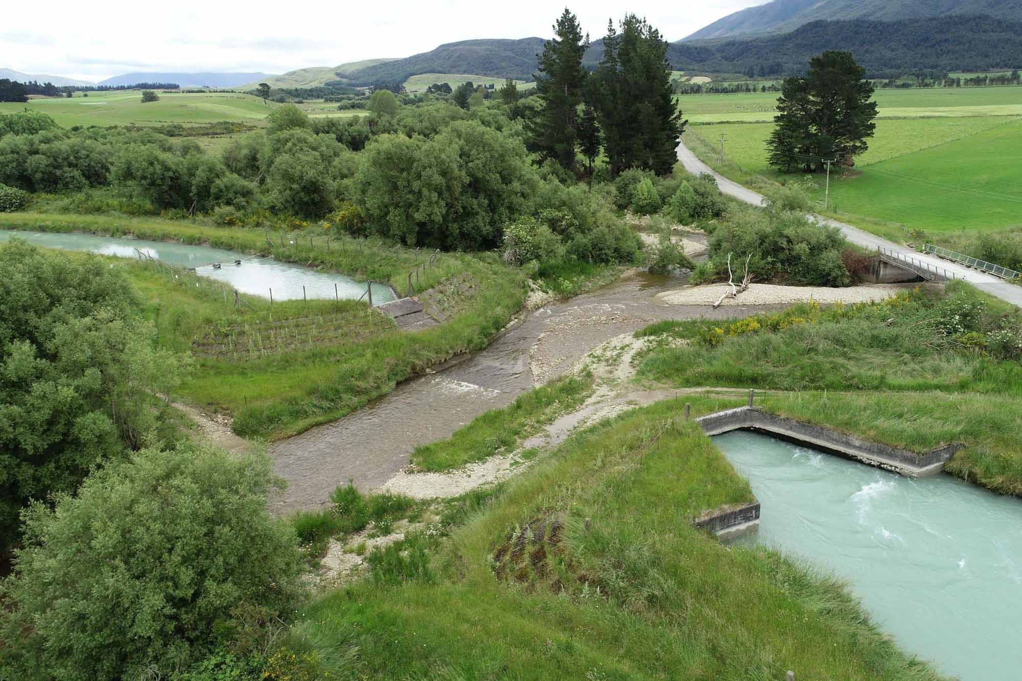
The RDR crosses both the South Branch and North Branch by way of large inverted siphons.
A secondary intake for the RDR is located on the north bank of the South Branch. The maximum consented water diversion is 7.1 cumecs but is restricted when the river is running at low levels. A fish screen was constructed at the South Ashburton intake in 2008.
Other Lowland Streams
The 67km route of the RDR between the intake on the Rangitata River at Klondyke to the discharge via Highbank Power Station on the Rakaia River crosses eight rivers and streams that originate in the foothills running along the western boundary of the plains. At each of these river and stream crossings, the RDR goes under the natural waterway in a large concrete inverted siphon.
The RDR crosses the following natural waterways along its path (in order):
- South and North Branches of the Hinds River – these two branches combine just north-east of Mayfield and the Hinds Rivers flows right to the coast.
- South Branch Ashburton River
- Caves Stream, Bowyers Stream, Taylors Stream – these streams combine with the South Branch Ashburton River/Hakatere downstream of the RDR
- North Branch Ashburton River/Hakatere
- Dry Creek
RDR Scheme Environment
The RDR is a man-made utility comprising extended lengths of canal interspersed with structures that control the water flow.
The route of the canal essentially follows the natural contour of the land as it travels south to north across the plains – tracking to provide just enough fall for the water to flow naturally. The design of the canal sections vary from neutral where the water level is at or below natural ground level to elevated sections where the water level in the canal comprises earth embankments containing the water at a level above the natural ground ground level. There are also areas where the canal is a sidling arrangement as it runs across a slope with an embankment constructed on the downslope side and the natural ground sloping up and away on the other side.
The water in the Race is typically 3.6m deep and the surface 7.6m wide at full flow. There are vehicle access tracks along both sides of the Race for most of its length.
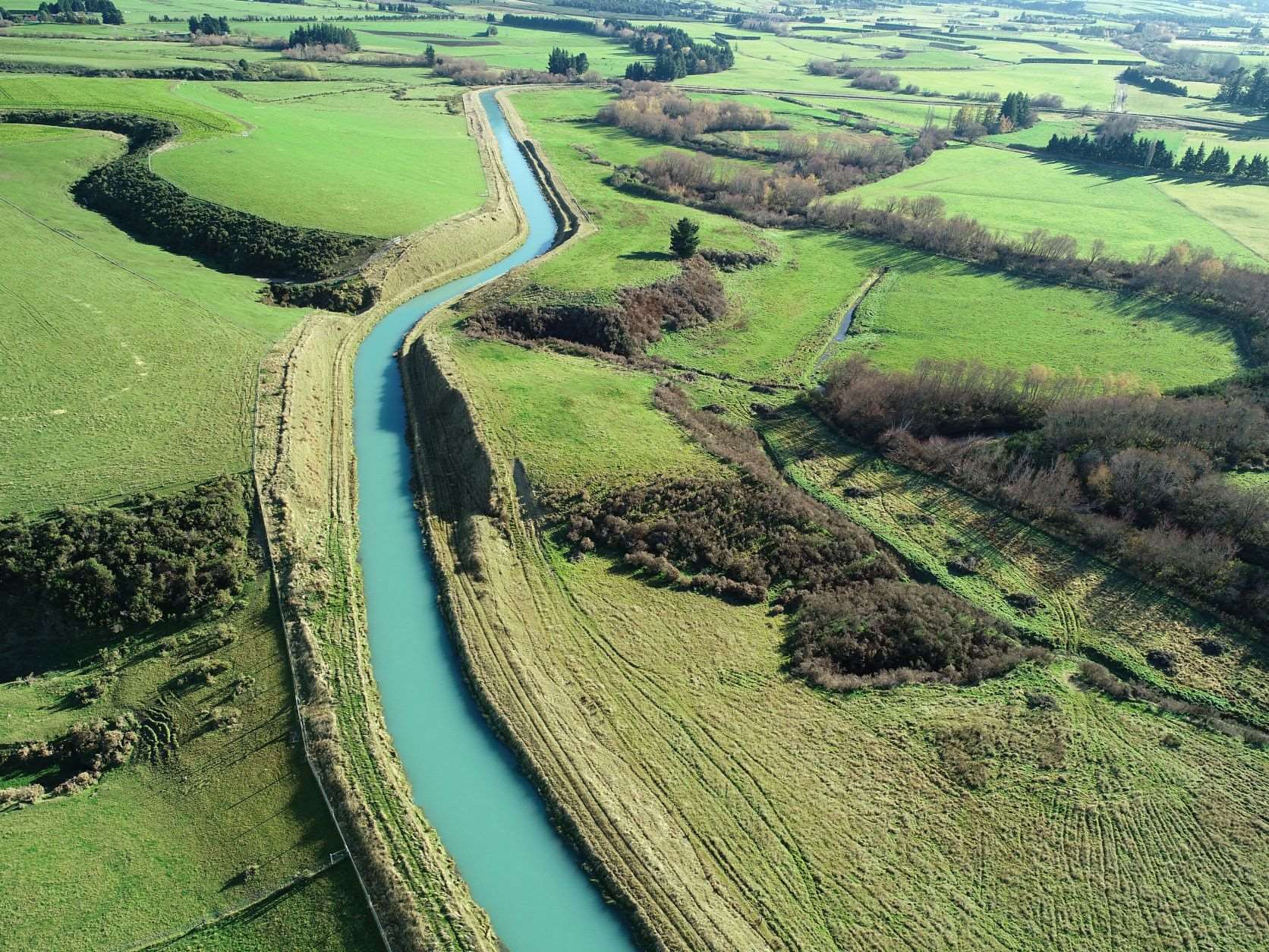
Most of the land that the RDR occupies is on freehold title owned by RDRML, although there are a few sections where there is an easement across private land. The land that the RDR traverses is mainly private farmland and, for the most part, the scheme blends well with the surrounding environment. Most embankment sections are grassed and local landowners are encouraged to help maintain these areas by grazing sheep or young cattle.
The RDR scheme has been in place since 1945, so the adjoining farms and activities have adapted to the physical presence of the scheme.
There are over 60 bridges across the RDR, so there is a low impact on transportation around the district.
Since the RDR runs across the plains, the natural down-plains drainage can be intersected by the RDR infrastructure. The natural waterways are uninterrupted, as described above, where the RDR is taken under the rivers and streams in large siphons. There are also over 90 culverts along the canal alignment that allow surface water to drain under/across the RDR.
